-40%
Virginia VA 1957 Jamestown James Forte Map John Hull A.H. Robins Colorful Dietz
$ 8.48
- Description
- Size Guide
Description
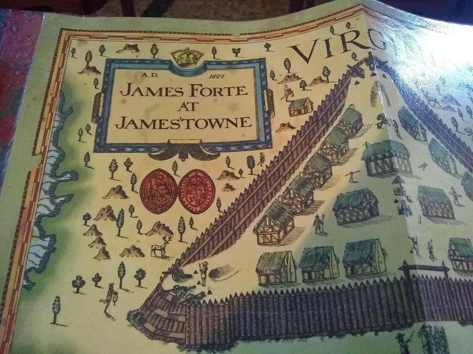
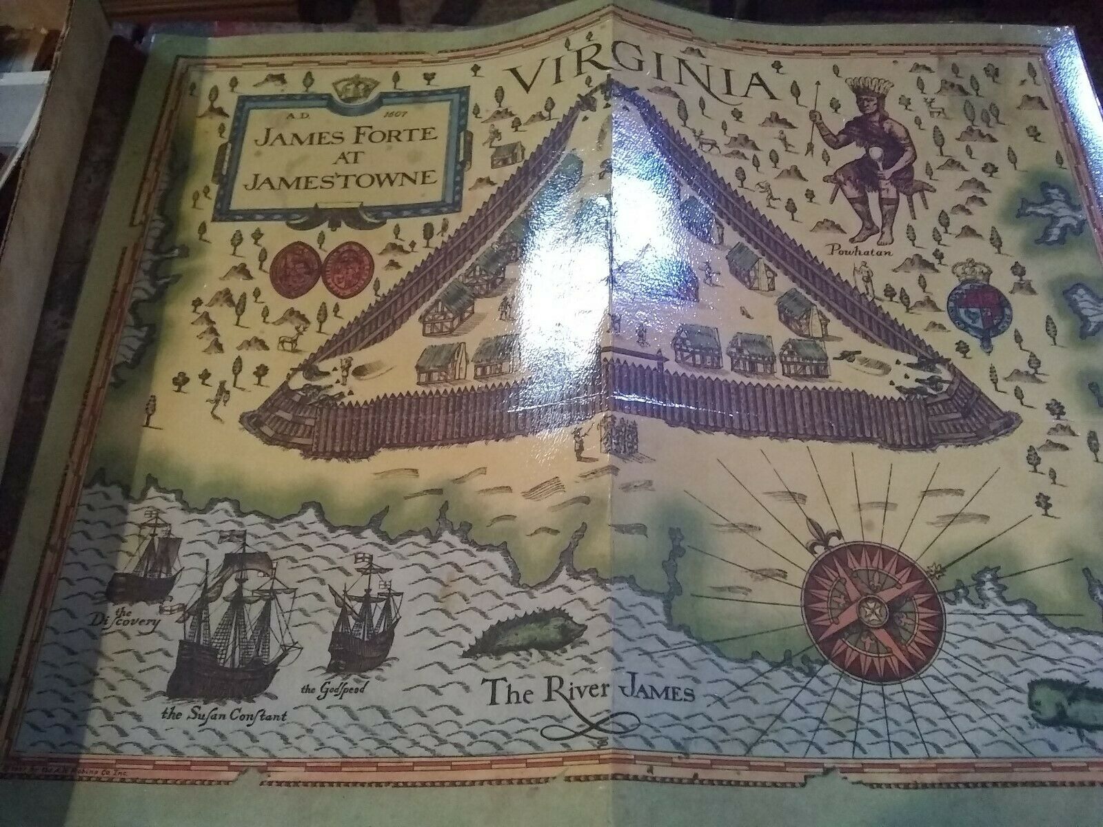
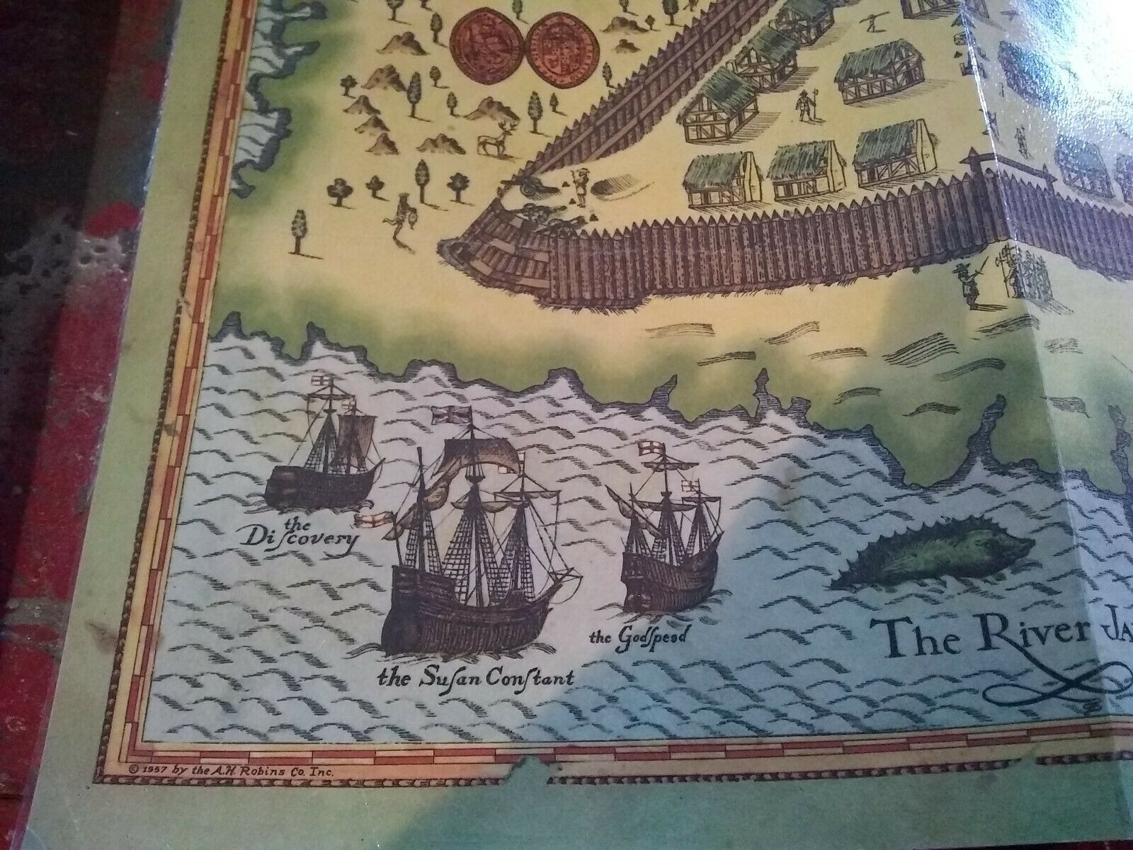
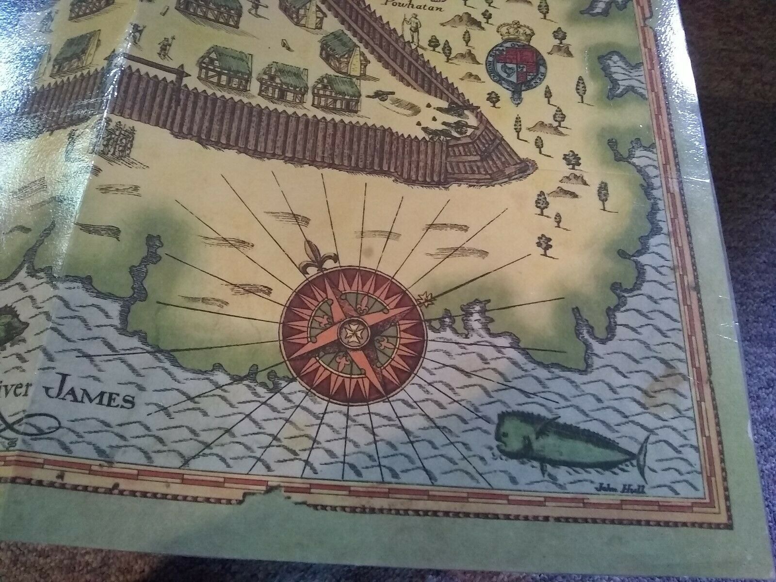
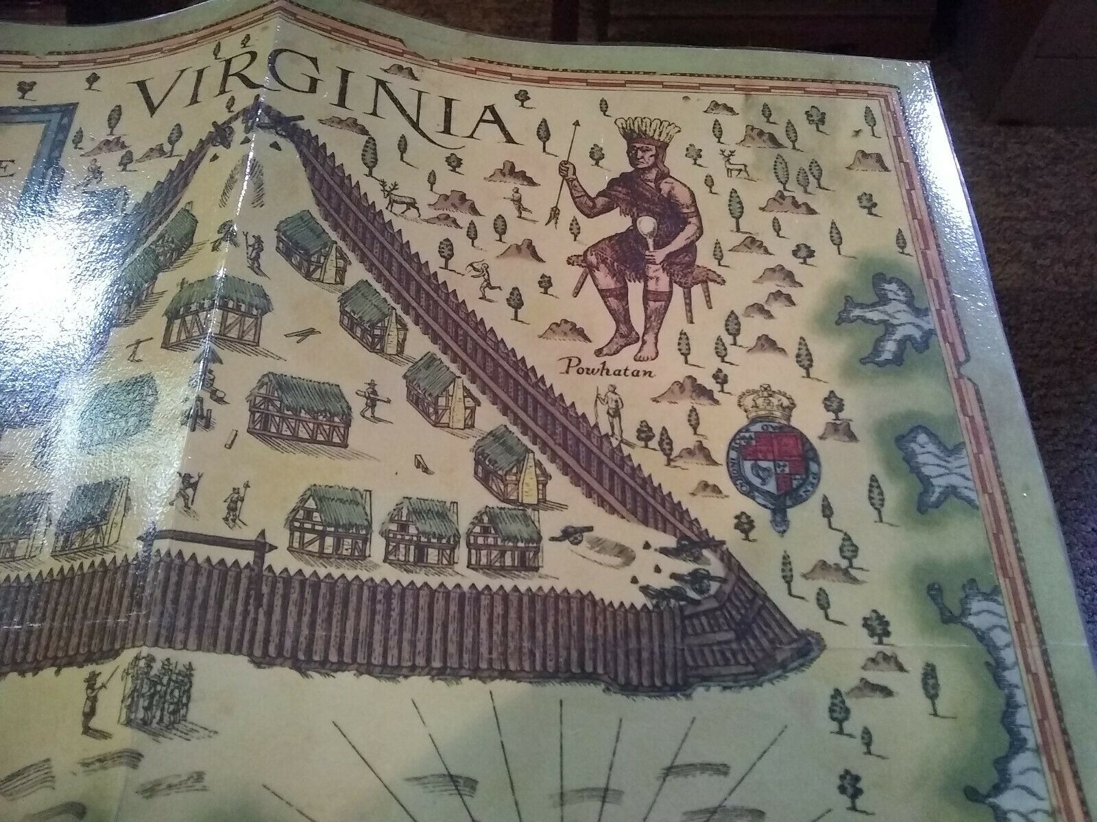
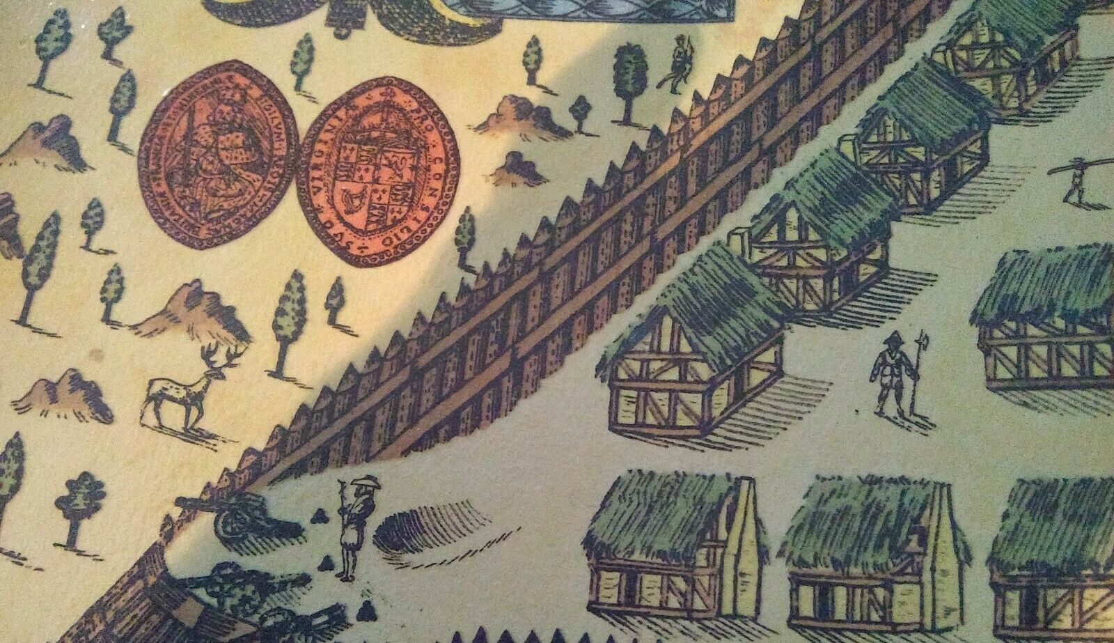
This lovely map of Jamestown, Virginia, is very special. It was produced in 1957 by the A.R. Robins Company of Richmond for the 350th birthday of Jamestown.This one has been laminated and used in elementary classrooms over the years to inspire young Virginians. There are some tiny holes in the corners where thumb tacks have held it on bulletin boards. It has been folded in the middle.
That being said, if you want to frame it, I think it would flatten out and look fine. It is approximately 14"x18".
The colors are so pretty and I guess it might have been printed by Dietz Press in Richmond, but not sure. It is signed John Hull. Now, I have always thought the original map was drawn in 1607, but not sure.
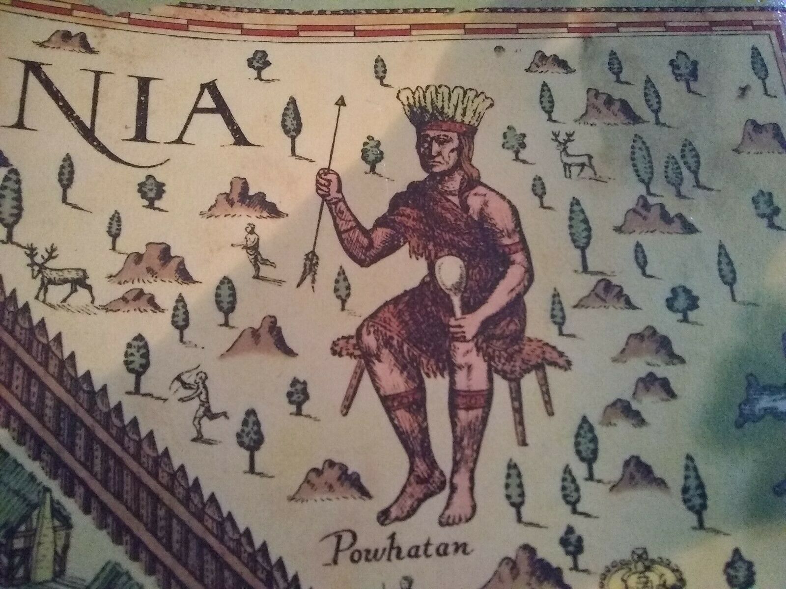
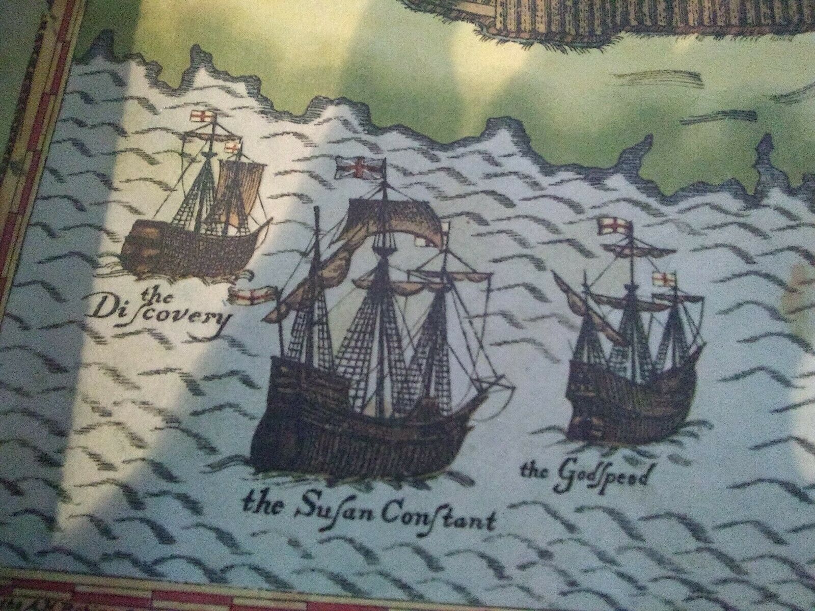
It features Powhatan, the forte, the James River, and the three ships Susan Constant, Godspeed, and Discovery. Also, a big fish!
